Facing the Fury: What to know about evacuation routes in the Valley
Related Story
We are driving into the 2025 hurricane season.
Among the things to do is prepare and let your family know what you'll do in the event of an evacuation.
That's why you should also make sure you know where you live.
It's important to know the evacuation routes now ahead of hurricane season,” Ray Pedraza, the spokesman for the Texas Department of Transportation, said.
Local emergency or elected officials will use a zone based system based to order evacuations.
Those who live closest to the coast will be the first to get the order if a severe storm threatens the Rio Grande Valley.
Depending on where you live, the route you take to evacuate changes.
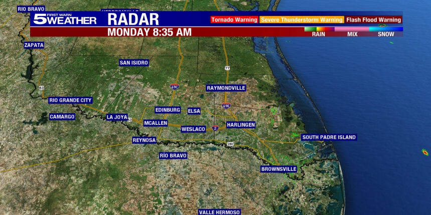
“Our two primary interstate evacuation routes for the Valley are I-2 to the west and I-69C to the north,” Pedraza said. “In an extreme circumstance, we would activate contraflow.”
The process of a contraflow involves making all lanes of the highway go one direction to get more people out faster.
TxDOT would only put this procedure in place if a county judge or mayor puts a mandatory evacuation order in place.
“Plan your evacuation route and know where you're going, and also communicate that plan with somebody who is not in the path of the storm,” Pedraza said. “Also, stay alert with all-weather advisories."
Watch the video above for the full story.


